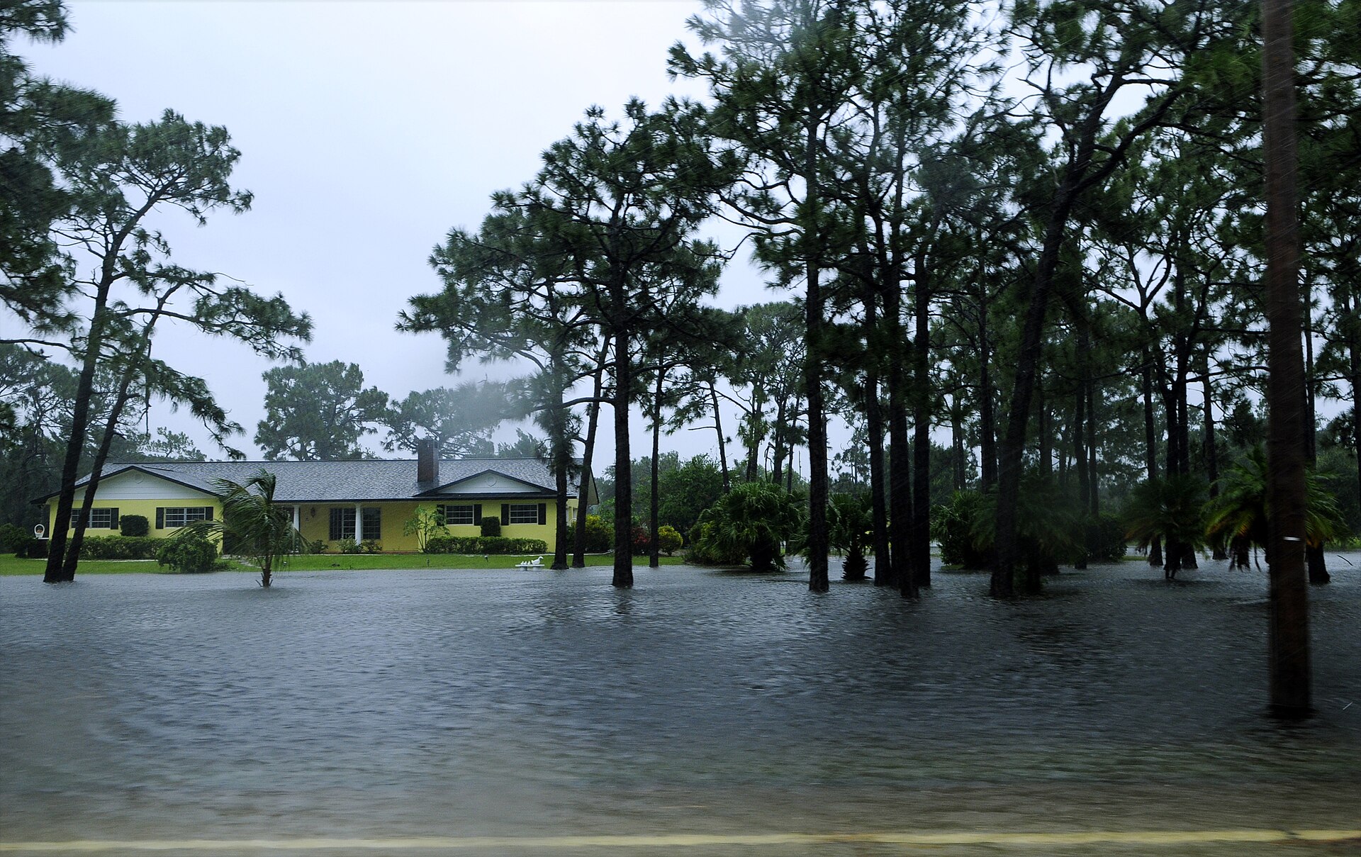
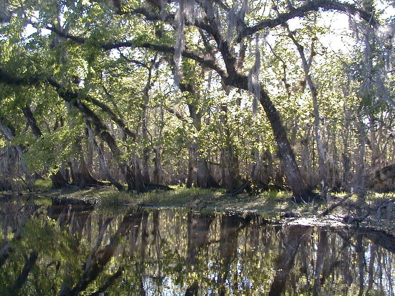
CENTRAL FLORIDA — Nov. 14, 2026. Flood warnings remain in effect along portions of the St. Johns River, where elevated water levels continue to affect communities in Central Florida, according to the National Weather Service in Melbourne.
Moderate flooding above Lake Harney
On the St. Johns River near Geneva, above Lake Harney in Seminole County, the river was measured at 9.0 feet at 8:30 a.m. Saturday, above the 8.0-foot flood stage, the National Weather Service said. Moderate flooding is occurring and is forecast to continue, with the river expected to remain steady at about 9.0 feet into next week. At that level, the Weather Service says water enters the first story of homes on Whitcomb Drive between Crossover Lane and Lake Harney Road and covers Mullet Lake Park.
Minor flooding near Astor
Farther downstream near Astor, in Lake and Volusia counties, the river was at 2.6 feet at 9:30 a.m. Saturday, above the 2.3-foot flood stage. Minor flooding is occurring and the Weather Service forecast the river to rise to about 3.4 feet just after midnight, with additional rises possible. At 3.5 feet, the Weather Service says canals overflow into yards and some homes and roads near the river become inaccessible.
What residents should know
Do not drive around barricades or through flooded areas, and use caution near riverbanks. Conditions vary by location and forecasts can change. Check the latest National Weather Service alerts before traveling through flood-prone areas. The next statements are scheduled for Sunday morning.
Readings are the National Weather Service’s flood warnings issued the morning of Saturday, Nov. 14, 2026, and may have changed since.
Sources: