
MELBOURNE, Fla. — The National Weather Service in Melbourne says a Flood Watch remains in effect until 7 p.m. EST Friday, Nov. 20, for Brevard, Volusia, Orange and Seminole counties, with more heavy rain in the forecast. The figures below are forecasts, not measured rainfall.
In its 7:52 a.m. statement, the Weather Service said repeated rounds of showers and isolated storms are forecast through Friday evening, with an additional 3 to 6 inches of rain possible and localized amounts of 8 to 10 inches. The greatest potential for the higher totals is over northern Brevard and Volusia counties, it said.
The Weather Service’s early-morning forecast discussion rated the Space and Volusia coasts at a High Risk (Level 4 of 4) for excessive rainfall Friday, with lower risks to the south and inland. It put additional rainfall through Saturday at 2 to 4 inches across most of the area and 4 to 6 inches along the Volusia and Brevard coasts. Rain chances are forecast to drop to 25% to 50% on Saturday.
The Flood Watch was cancelled Friday morning for Osceola, Indian River, St. Lucie, Martin and Okeechobee counties, where the Weather Service said flooding is no longer expected to pose a threat. It asked residents to keep heeding remaining road closures.
Other hazards listed by the Weather Service: a Wind Advisory from 7 a.m. Friday to 7 a.m. Saturday for coastal Volusia and northern Brevard, a High Surf Advisory through Saturday with a high risk of life-threatening rip currents, and continuing flooding along the St. Johns River, where more rain is forecast to push levels higher into the weekend. The Weather Service also gave a low-pressure system near the northwest Bahamas and southeast Florida a 50% chance of becoming a subtropical or tropical storm as it moves north this weekend.
The Weather Service urged drivers not to drive through flooded roads.
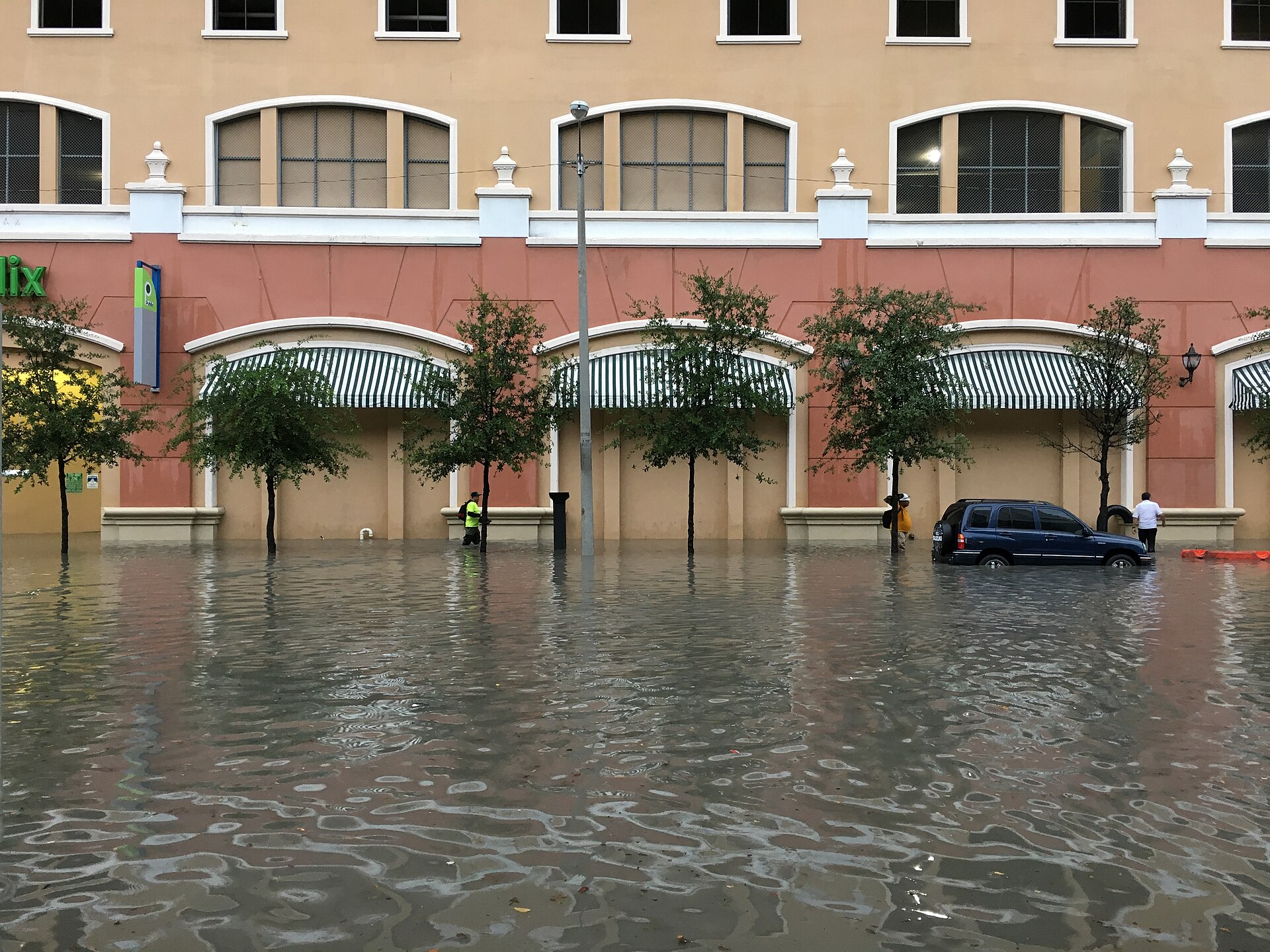
File photo: Street flooding in Miami’s Brickell neighborhood on Aug. 1, 2017. It does not show this week’s flooding in Brevard or Volusia counties. Photo: Phillip Pessar / Wikimedia Commons, CC BY 2.0
Sources: