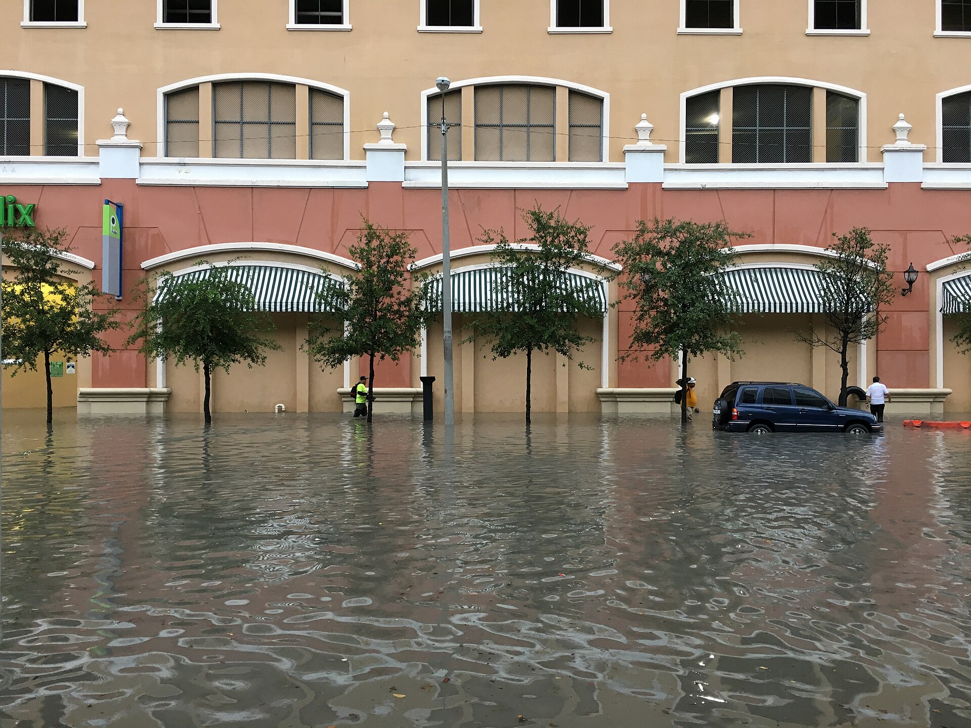

ORLANDO, Fla. — A flood watch remains in effect for most of east central Florida through Friday evening, according to the National Weather Service in Melbourne. The watch covers Orange, Seminole, Osceola, Volusia and Brevard counties, along with Indian River, St. Lucie, Martin and Okeechobee counties.
Forecasters said repeated rounds of showers and isolated storms are expected through Friday. In its Wednesday morning forecast discussion, the Melbourne office called for widespread rainfall of 4 to 6 inches, with 8 to 12 inches possible near the coast and a small chance of isolated amounts above 12 inches, mainly in parts of Volusia or Brevard counties. The earlier watch text had cited 3 to 6 inches. Lake County is not included in the watch.
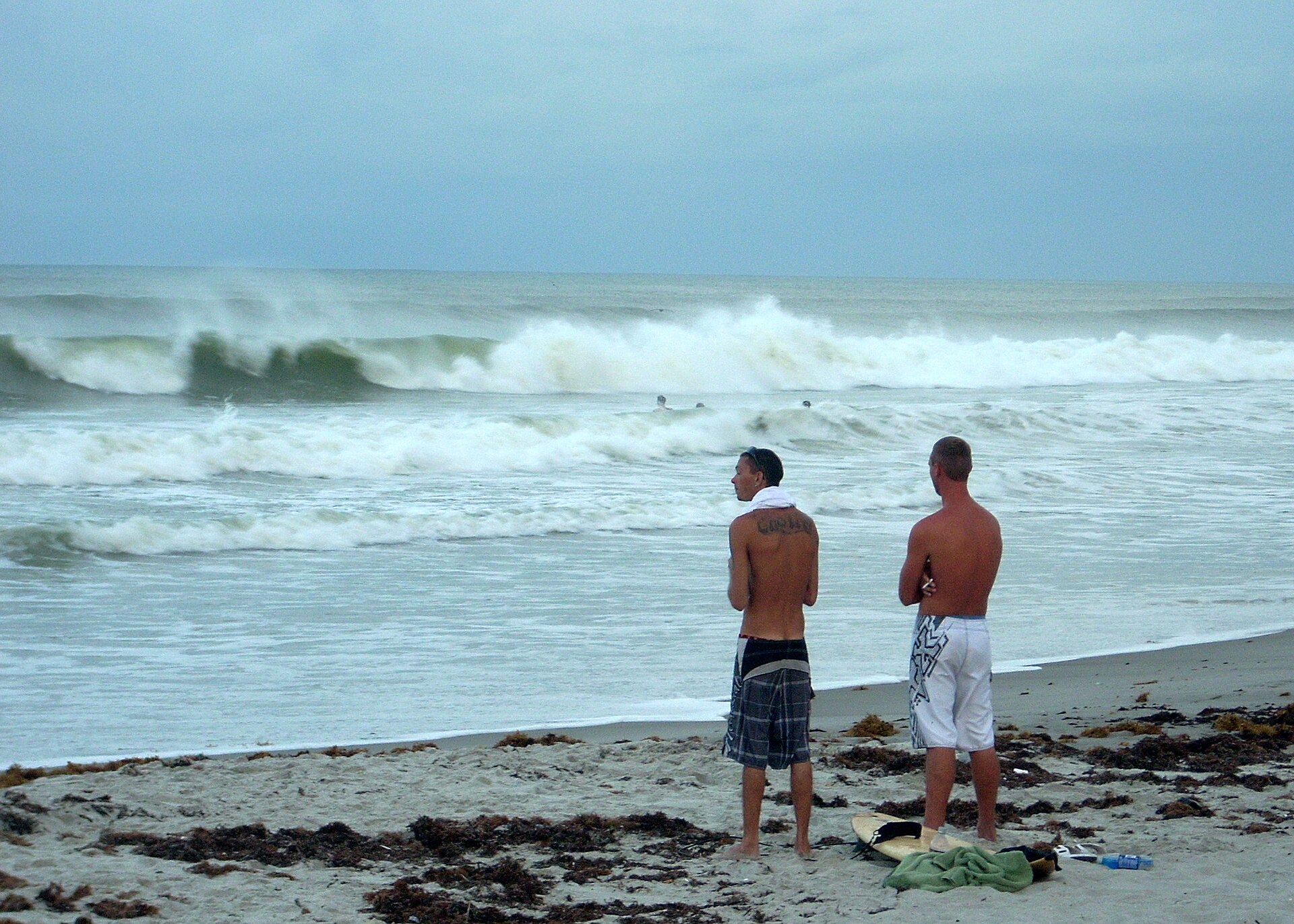
The weather service also reported ongoing river flooding. Flood warnings issued Tuesday evening cover the St. Johns River near Cocoa in Brevard County, where major flooding was occurring, as well as near Geneva in Seminole County and near Astor in Volusia and Lake counties. A high surf advisory and a high rip current risk also remain in effect along the coast through Friday.
The weather service urges drivers not to enter flooded roadways. Updates are posted at weather.gov/mlb.
Photo credit: Mangrove Mike / Wikimedia Commons, licensed CC BY 2.0.
Sources: